
Natural Resources of Colorado and Utah: Map of the Denver and Rio Grande System and its Western Connections
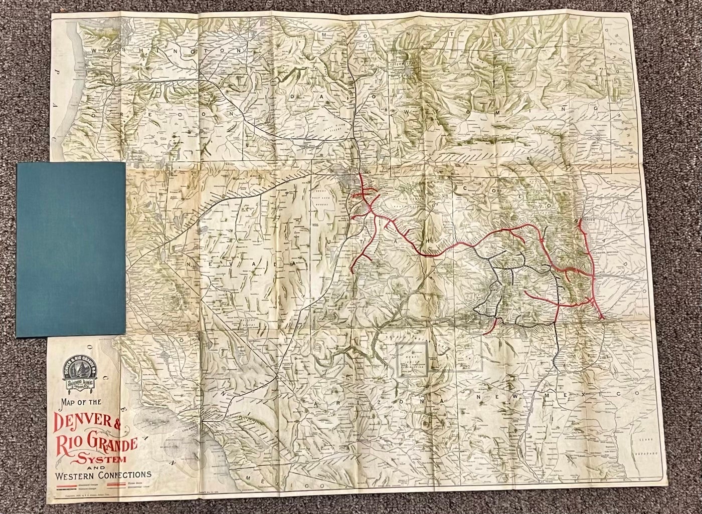
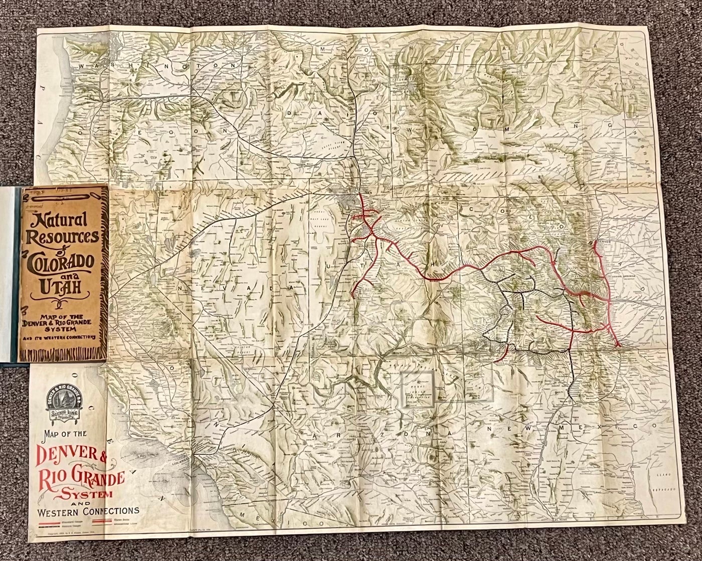
Denver, CO: 1905. Color map (22 1/2" x 28 1/4"), folding into stiff paper covers (7 3/4" x 3 3/4"). Includes portions of Arizona, Colorado, Nebraska, New Mexico, Utah, and Wyoming. Shows standard gauge, narrow gauge, three rails, and connecting lines. The verso of the map is covered with printed information on the Denver and Rio Grande System and the region it covers, including a comparison of Colorado and Switzerland. Includes much information on natural resources, mineral springs and resorts, climate, agriculture and much more. The original map in stiff printed wrappers has been bound in a later green cloth folder; minor libray number notations on upper front wrapper and "The State Historical Society of Colorado" stamped at lower edge inside front wrapper. The red lettering and red rail lines on map have bled through to verso; light age toning; a very good copy of a scarce railroad map. Item #21370
Price: $500.00